Opinion: In this article I look into data on how well the rail network serve New Zealanders, and how many people might be able to travel by train… if we ran more than a handful of them each week.
I was lamenting the lack of intercity train options in Aotearoa recently and was hit by an all-too-common retort: the idea that New Zealand doesn’t have much of a rail system and trains can’t go where people want to go. This truthy little number is often backed up by the suggestion that New Zealand was designed for roads and it’s too late to try and do anything better with the rail network.
So I wondered, how much of this is actually true? It felt wrong to me, knowing that there are train tracks all over the country that pass through just about every city and town in the country. The rail network should be able to serve a whole lot of people and places very well. But I didn’t have any hard data on the topic to confirm that feeling, so naturally I needed to do some analysis.
There’re two things to work out to answer how many kiwis live on the rail network: firstly, where to people actually live in New Zealand, and secondly where does the rail network actually go to?
Where do New Zealanders actually live?
For the residential distribution I loaded up a population density grid from Stats NZ, which has a great 250m square grid covering the whole country loaded with census data. This gives some great info on the spread and density of population around the country and let me generate some great maps of density laid out over geography, take a look at these!
The density is on a colour scale where purple means very high-density urban centres, red is high-density suburbs, and orange is regular suburban population density. The yellow areas represent low density rural settlements and countryside living, while white squares represent rural areas that have at least one house in them.
There are some clear takeaways from these maps: New Zealanders overwhelmingly live clustered in small proportion of the land area of our country. We live in cities and towns or close to them, we live mostly near the coast or on plains, and we don’t live in mountainous areas. The main centres stick out clearly, with smaller cities and towns dotted between them like pearls on a string. Even when you zoom in to the low-density rural living, it’s still clustered along a relatively small number of roads branching out from nearby towns.
While we live in settlements right across the country from cape Reinga to the Bluff, we’re certainly not evenly spread out across the country. New Zealanders are highly urbanised and centralised in where they live. If you take a step back, this looks like near perfect conditions for intercity rail: population located in clusters of cities and towns dotted along a fairly small number of linear corridors.
Where do the rail tracks go?
So next up, where does the rail network go? Working this out is pretty straightforward too, thanks to KiwiRail having a lot of open data available online which shows where the rail network goes. They have the network, track types, and stations and facilities all coded up geographically for anyone to use.
The network of rail tracks is easy enough to map out but it’s the stations that are most important for access. I worked through the list of KiwiRail facilities to identify those that are currently, or were formerly, a rail station. New Zealand has a very large amount of train stations in almost all parts of the country. While most of them are now derelict or demolished, they still exist as a station or railyard in a legal sense on land that is still owned by the rail operator. So those station sites give us a good idea of where passenger trains could run if they were operated on the network. If you look at the network, it’s easier to list the places that aren’t on the rail system. In terms of main centres, it’s basically Taupo, Nelson-Golden Bay and Queenstown Lakes that never had rail connections. We can add to that Rotorua, Gisborne, the far north and Hauraki-Coromandel that sit on mothballed or abandoned lines. Pretty much everywhere else in the country with anyone living in it has rail to some extent.

So how many people live on the rail network?
From that list I worked out the catchment area of each of current and former station sites. I identified the closest station site to every point in the country, then I ran a fifteen-kilometre service area around each station along roads and pathways to limit the catchments to a reasonable distance. This translates to about a fifteen-minute drive, or about the same on coach or local bus. Intersect those catchment areas with the population grid, and we know how many people live close to each station location. It also tells us which station site has the most people nearby, and which the least, so it’s easy to put together a list of what the first priorities should be.
So the quick answer: 87% of New Zealand lives within fifteen minutes of a current or former rail station site on Kiwirail’s current rail network. That’s about 4.4 million people. Ok grand, myth busted. But let’s dig in a little further into the data and see what a feasible intercity passenger train system might look like.
What would a national rail network serving most Kiwis look like?
For a passenger rail network we’d naturally start where there is the most potential for demand. The stations with the biggest catchment are, not too surprisingly, stations serving our largest cities. Interestingly, you only need thirty stations across the country to serve two-thirds of the population, although these are spread across all the corridors of both islands. In the top thirty sites ranked by catchment, there are six stations in the Auckland region, five in the greater Wellington area, four in greater Christchurch, two each in Hamilton and Tauranga, plus one each for Dunedin, Palmerston North, Napier, Hastings, New Plymouth, Whangarei, Napier, Invercargill and Whanganui.
For a more useful look at the outcomes, I put together a network plan of routes and stations that you might actually operate to serve all these areas. This is based on extending or upgrading six existing intercity trains lines:
- Te Huia: between Auckland and Hamilton, and extended to Tauranga and Te Puke
- The Northerner Explorer: between Auckland and Wellington
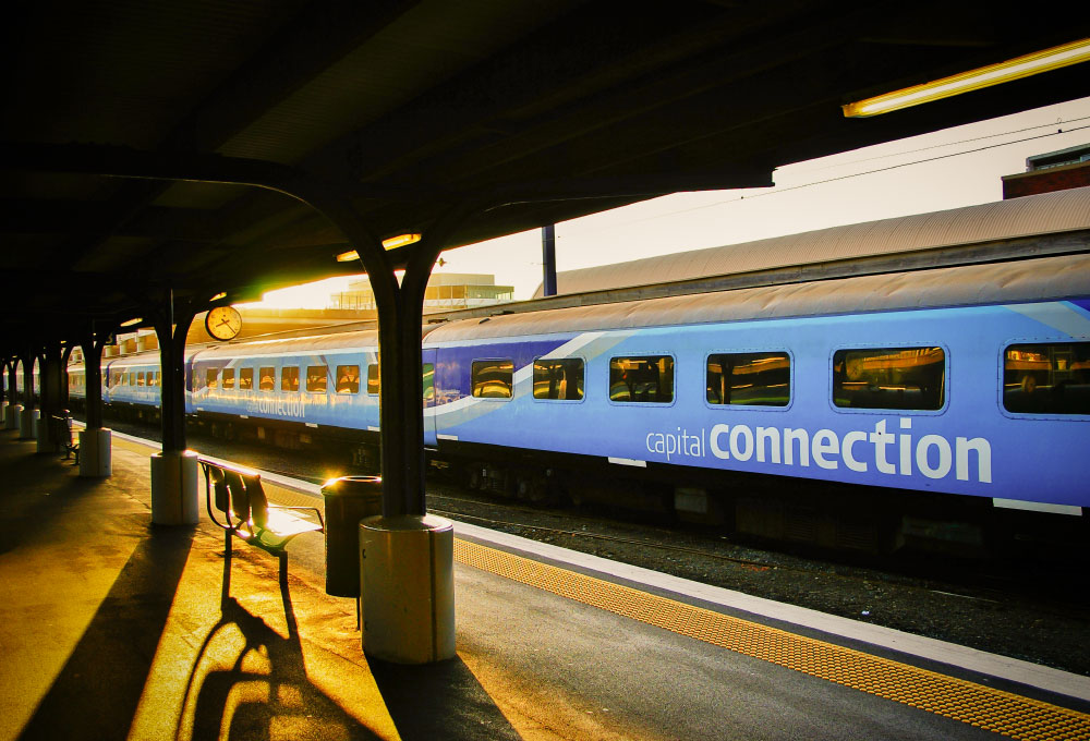
- The Capital Connection: between Wellington and Palmerston North, extended to Wanganui and New Plymouth
- The Wairarapia Connection: between Wellington and Masterton, extended to Woodville in the northern Wairarapia
- The Coastal Pacific: between Picton and Christchurch
- The TranzApline: between Christchurch and Greymotuh
We add to this two reinstated lines that used to run until the 2000s:
- The Bay Express, between Wellington, Palmerston North and Napier-Hastings
- The Southerner, between Christchurch, Dunedin and Invercargill
…plus two new lines, which I’ve taken the liberty of giving names to:
- The Northlander, between Auckland and Whangarei
- The Shirelander, between Tokoroa and Hamilton, via Matamata and Morrinsville (this is similar to the old Geyserland Express, but unfortunately the tracks to Rotorua have been ripped up, so Tokoroa it is).

Across these ten lines there are 100 stations that look like a good idea to serve. About half of these are main population centres, and half are smaller places that are on the line anyway. Overall, 80% of the New Zealand population live within fifteen minutes of these hundred stations.
So there we go. Kiwis overwhelmingly live on the rail network, or the rail network goes where Kiwis live. Either way upgrading or extending our six existing intercity train lines, plus adding four extra ones, would result in a intercity rail network that serves eight out of ten New Zealanders.
An opinion by Nicolas Reid - Principal Public Transport Planner at MRCagney.
Opinion was originally published on Linkedin on 3 February 2025.
This opinion has been republished by publictransportforum.nz with permission from the original author.
For further reading concerning the points raised in this opinion -
- Time for a national regional passenger rail network
- Time for a national public transport network
- Motu Move - National public transport payment system
If you support a national regional passenger rail network concept, have your say or become proactive by getting involved in local better public transport campaign groups.